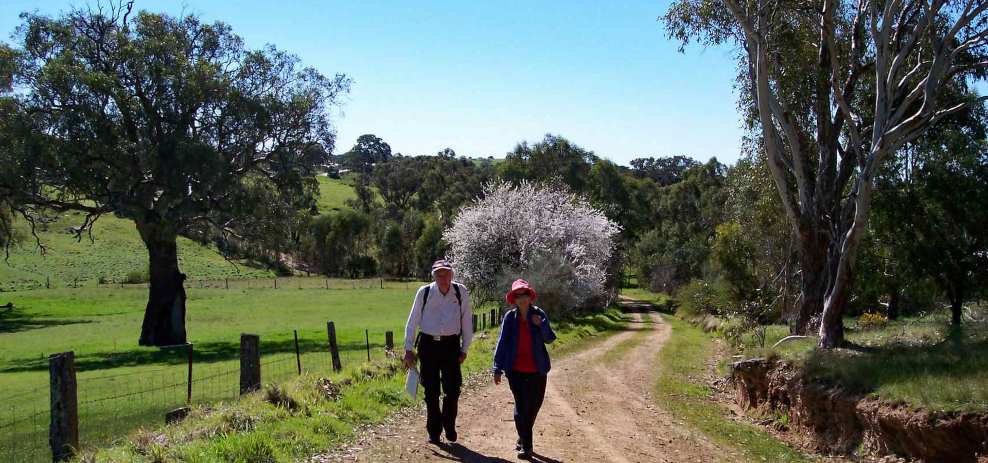
Various Loop Trails
Loop Trails Adjoining The Lavender Trails
BELOW: Those with a solid border can be clicked for extra information
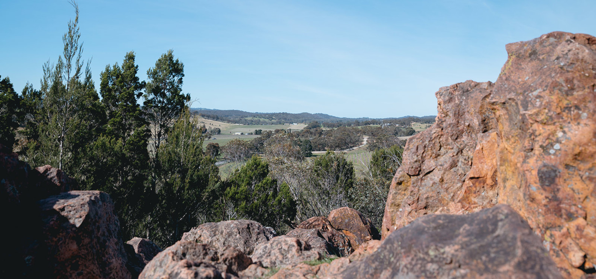
Mount Horrocks Loop Trail
Walking only – Map 6
Panoramic Views of this historic region.
Included In the “Clare Valley Short Walks”.
This 570 meters lookout loop trail gives spectacular uninterrupted views to the south and west, well worth the 900m loop walk
Click to find out more
Point Pass Loop Trail
Walking only – Map 5
Linking the Lavender Federation Trail with the small hamlet of Point Pass where you can find a camp spot at the Oval and a drink and meal at the Point Pass Hotel.
Eudunda Inspiration Point Loop Trail
Walking, Cycling, Horse, Driving – Map 5
54 kilometres with over 400 metres of climbing. Note: Walking & Cycling both use the Eudunda to Hampden Rail Trail now, Horse & Car differ slightly. Clicking image will show Cycling Trail.
Eudunda Southern Ridge Loop Trail
Walking, Cycling, Horse, Driving – Map 4
31 km loop trail to the South of Eudunda. Mostly gravel, some clay, some moderate uphill and downhill, quiet backroads, great views and some historic areas.
Moculta Loop Trail
Walking – Map 3
10.5km Quiet unmade roads starting at the Moculta Oval, linking the Lavender Federation Trail with the Kidman Trail providing further opportunities to explore.
Eden Valley Loop Trail
Walking – Map 3
18 km for a great day walk if you are fit, including a lookout with impressive views, linking into the Lavender Federation Trail.
Springton Loop Trail
Walking & Cycling – Map 2 & 3
Various alternative lengths to suit time & energy
Main Loop 17km, via Koop Creek Road 13km,
via Carters Road 8.2km. The trail passes many historic sites, finishing with a short tour of the township.
Mt Pleasant Loop Trail
Walking – Map 2
23 km. Commencing in the main street of the township, the trail offers a number of options with interconnection with the Lavender Federation Trail, Tungkillo Loop Trail and the LFT (M2C) cycling trail.
Tunkillo Loop Trail
Walking – Map 2
17km walk incorporating part of the main trail and starting and finishing within a few minutes drive of Tunkillo at Hardings Road or several other starting points (see map 2).
CLOSED From 29 June 26 to
mid-2028 – CLICK READ MORE
Kinchina Conservation Park Trails
Multiple Walking & Cycling – Map 1
Loop & Spur Trails
Opened on the 6th November 2016 the 414 ha Conservation Park is located in the hills on the edge of Murray Bridge has an extensive network of loop and spur trails, developed for various walking and cycling activities of which the Lavender Federation Trail is rated Intermediate, easy trial runs east to west through the park.
The Clare Valley Wine and Wilderness Trail
Walking – Map & GPS on Website
110km Loop Trail exploring the Clare Valley. (when finished)
Stages 1, 2, 5 & 6 of the The Clare Valley Wine and Wilderness Trail are open and can be completed at any time.
Much of the trail is through private property, we thank our many landholders for supporting the trail and permitting access. We ask all users to please observe the rules when accessing these areas
Neagles Rock Loop Trail
Walking – Map 6
Included In the “Clare Valley Short Walks”.
This loop trail to Neagles Rock Lookout near Clare is well worth the walk for its spectacular panoramic views.
Find out more on the WalkingSA website.